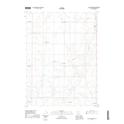
2017 Map of Cow Creek Reservoir
USGS Topo · Published 2017About this map
Cow Cr Reservoir sits at the heart of this high-desert landscape in south-central Wyoming, where water management is the defining feature of the terrain. The drainage of Shell Cr is punctuated by numerous small impoundments, including State Reservoir Number 2, Petrified Wood Reservoir, and Moonstone Reservoir. These named catchments, along with colorfully titled sites like Trouble Reservoir and Mosquito Reservoir, indicate a history of ranching or wildlife management in an area where every drainage counts. The eastern portion of the map is dominated by the striking topographic break of the Adobe Town Rim, while the isolated Five Monument Butte serves as a prominent navigational landmark. For those tracing land use or topographic history, the map provides a clear view of the Adobe Town Rim Rd and other BLM routes crossing this portion of Sweetwater County.
Find a feature on this map
23 named features on this map. Tap any name to fly to it.
Don’t see what you’re looking for? This feature index may not catch every label — zoom into the map to look around manually.
Map Details
Editions of this 2017 Cow Creek Reservoir Map
This is the sole edition of this map. No revisions or reprints were ever made.
Other maps of this area

1954 · Rock Springs
USGS Topo · 1:250,000

1958 · Rock Springs
USGS Topo · 1:250,000

1962 · Rock Springs
USGS Topo · 1:250,000

1968 · Chicken Creek East
USGS Topo · 1:24,000

1968 · Sand Butte Rim SE
USGS Topo · 1:24,000
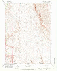
1968 · Chicken Creek SE
USGS Topo · 1:24,000

1970 · Cow Creek Reservoir
USGS Topo · 1:24,000
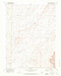
1970 · Kinney Spring
USGS Topo · 1:24,000

1970 · Manuel Gap
USGS Topo · 1:24,000
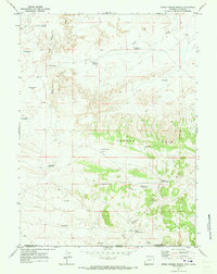
1970 · Upper Powder Spring
USGS Topo · 1:24,000