
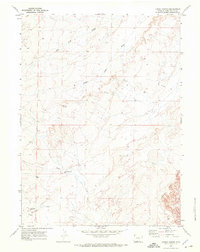
1968 Map of Chicken Creek East
USGS Topo · Published 1972About this map
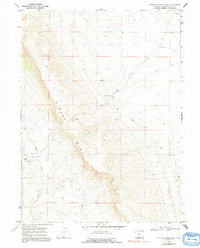
Kinney Rim dominates the landscape of this Sweetwater County survey, creating a sharp topographic boundary between the high plateau and the drainages below. The late 1960s environment is characterized by its isolation and reliance on sparse water sources like Carson Spring and several unnamed Springs scattered across the basin. Small-scale human presence is marked by Davis Cabin near the headwaters of Chicken Creek, along with a lone Corral to the south. The map documents multiple Drill Holes, signaling the exploration for subsurface resources in this high desert terrain. The drainage patterns of Alkali Creek further define the arid geography, where narrow watercourses have carved into the sediment beneath the prominent rim.
Find a feature on this map
9 named features on this map. Tap any name to fly to it.
Don’t see what you’re looking for? This feature index may not catch every label — zoom into the map to look around manually.
Map Details
Editions of this 1968 Chicken Creek East Map
2 editions found
Other maps of this area

1954 · Rock Springs
USGS Topo · 1:250,000

1958 · Rock Springs
USGS Topo · 1:250,000

1962 · Rock Springs
USGS Topo · 1:250,000
1968 · Chicken Creek SW
USGS Topo · 1:24,000

1968 · Pine Butte
USGS Topo · 1:24,000

1968 · Sand Butte Rim SE
USGS Topo · 1:24,000
1968 · Chicken Creek SE
USGS Topo · 1:24,000
1968 · Chicken Creek West
USGS Topo · 1:24,000

1970 · Cow Creek Reservoir
USGS Topo · 1:24,000
1970 · Kinney Spring
USGS Topo · 1:24,000