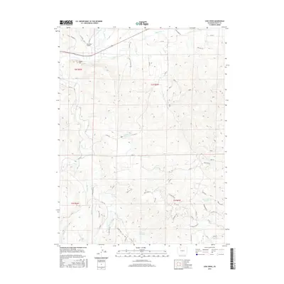
2016 Map of Cow Creek
USGS Topo · Published 2016About this map
The Yampa River and Elk River converge in this high-country landscape of Routt County, illustrating a complex network of 21st-century water management. Irrigation and storage systems are central to the terrain, evidenced by several water control features including Apple Dam Reservoir, Upper Robinson Reservoir, and Whetstone Reservoir. A sophisticated system of human-made waterways such as Trout Creek Ditch Number 2, Homestead Ditch, and Connel Ditch crisscross the valley floors, highlighting the critical role of water rights and ranching infrastructure in the region.
Find a feature on this map
59 named features on this map. Tap any name to fly to it.
Don’t see what you’re looking for? This feature index may not catch every label — zoom into the map to look around manually.
Map Details
Editions of this 2016 Cow Creek Map
This is the sole edition of this map. No revisions or reprints were ever made.
Other maps of this area

1911 · Hahns Peak
USGS Topo · 1:125,000

1913 · Hahns Peak
USGS Topo · 1:125,000

1923 · Pilot Knob
USGS Topo · 1:62,500

1924 · Mt. Harris
USGS Topo · 1:48,000

1925 · Pilot Knob
USGS Topo · 1:62,500

1926 · Mount Harris
USGS Topo · 1:62,500

1954 · Craig
USGS Topo · 1:250,000

1957 · Craig
USGS Topo · 1:250,000

1958 · Craig
USGS Topo · 1:250,000

1960 · Craig
USGS Topo · 1:250,000