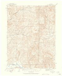
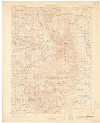
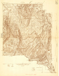
1923 Map of Pilot Knob
USGS Topo · Published 1958About this map
Pilot Knob and the surrounding high country of northwestern Colorado define this 1923 survey, capturing the region during an era of early ranching and coal exploration. The landscape is marked by isolated outpost such as Gantts Cabin and the small settlement of Mystic, which sit alongside the vital waters of Elkhead Creek and the Yampa River. The southern edge of the map features the Denver and Salt Lake railroad line, providing a glimpse into the industrial connectivity of the Roaring Twenties.
Find a feature on this map
37 named features on this map. Tap any name to fly to it.
Don’t see what you’re looking for? This feature index may not catch every label — zoom into the map to look around manually.
Map Details
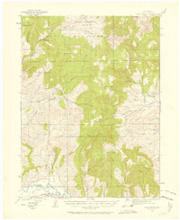
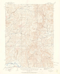
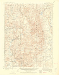
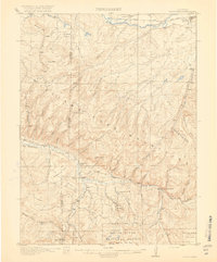
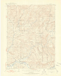
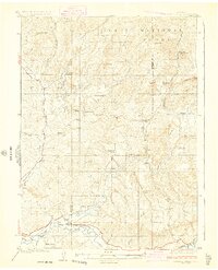
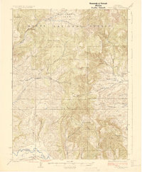
Editions of this 1923 Pilot Knob Map
4 editions found

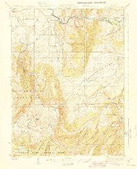
Other maps of this area
1911 · Hahns Peak
USGS Topo · 1:125,000
1913 · Hahns Peak
USGS Topo · 1:125,000

1916 · Daton Peak
USGS Topo · 1:62,500
1920 · Daton Peak
USGS Topo · 1:62,500
1923 · Elkhead Creek
USGS Topo · 1:62,500
1924 · Elkhead Creek
USGS Topo · 1:62,500
1924 · Mt. Harris
USGS Topo · 1:48,000
1925 · Pilot Knob
USGS Topo · 1:62,500
1926 · Mount Harris
USGS Topo · 1:62,500

1954 · Craig
USGS Topo · 1:250,000