
1923 Map of Pilot Knob
USGS Topo · Published 1963About this map
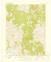
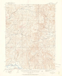
California Park and the high elevations of Routt National Forest define this landscape during the early 1920s. The topography is dominated by prominent peaks such as Pilot Knob, Wolf Mountain, and Quaker Mountain, while the southern edge follows the course of the Yampa River. This era shows a scattered network of rural infrastructure, including isolated education centers like Deep Creek School and Wolf Creek School, serving families near Mystic.
Find a feature on this map
42 named features on this map. Tap any name to fly to it.
Don’t see what you’re looking for? This feature index may not catch every label — zoom into the map to look around manually.
Map Details
Editions of this 1923 Pilot Knob Map
4 editions found
Other maps of this area

1911 · Hahns Peak
USGS Topo · 1:125,000

1913 · Hahns Peak
USGS Topo · 1:125,000

1916 · Daton Peak
USGS Topo · 1:62,500

1920 · Daton Peak
USGS Topo · 1:62,500

1923 · Elkhead Creek
USGS Topo · 1:62,500

1923 · Pilot Knob
USGS Topo · 1:62,500

1924 · Elkhead Creek
USGS Topo · 1:62,500

1924 · Mt. Harris
USGS Topo · 1:48,000

1925 · Pilot Knob
USGS Topo · 1:62,500

1926 · Mount Harris
USGS Topo · 1:62,500