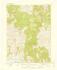
1923 Map of Pilot Knob
USGS Topo · Published 1958About this map
The Denver and Salt Lake railroad winds through the southern edge of this Colorado high country, following the path of the Yampa River during the early twentieth century. This terrain, characterized by prominent elevations like Pilot Knob and Wolf Mountain, supported a scattered network of rural education and resource extraction. Evidence of early settlement and industry is found at the Ducey Mine and Franz Mine, which operated near the headwaters of the regional creeks. Educational outposts such as Deep Creek School and Wolf Creek School served the families living in the shadows of the Rim Rocks. To the north, the expanse of California Park within the Routt National Forest represents the era's balance between wild federal lands and the localized human footprint of sites like Gantts Cabin.
Find a feature on this map
45 named features on this map. Tap any name to fly to it.
Don’t see what you’re looking for? This feature index may not catch every label — zoom into the map to look around manually.
Map Details
Editions of this 1923 Pilot Knob Map
4 editions found

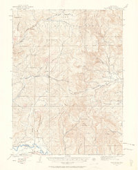
Other maps of this area

1911 · Hahns Peak
USGS Topo · 1:125,000

1913 · Hahns Peak
USGS Topo · 1:125,000

1916 · Daton Peak
USGS Topo · 1:62,500

1920 · Daton Peak
USGS Topo · 1:62,500

1923 · Elkhead Creek
USGS Topo · 1:62,500

1923 · Pilot Knob
USGS Topo · 1:62,500

1924 · Elkhead Creek
USGS Topo · 1:62,500

1924 · Mt. Harris
USGS Topo · 1:48,000

1925 · Pilot Knob
USGS Topo · 1:62,500

1926 · Mount Harris
USGS Topo · 1:62,500