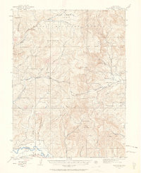
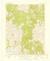
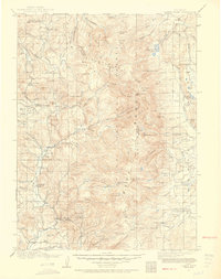
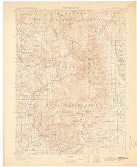
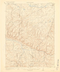
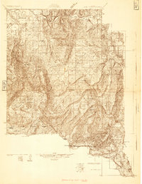
1923 Map of Pilot Knob
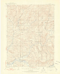
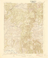
USGS Topo · Published 1963About this map
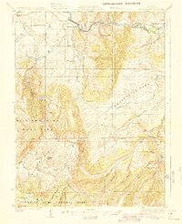
Routt National Forest dominates this northern Colorado landscape, where early 20th-century surveyors Albert Pike and W.F. Chenault documented a transition from high-altitude wilderness to a river-valley economy. The northern reaches include California Park and the high summit of Pilot Knob, while the southern edge is defined by the winding Yampa River. Between these points, the map reveals a scattered network of rural infrastructure, from isolated outposts like Gantts Cabin to the small community at Mystic.
Find a feature on this map
44 named features on this map. Tap any name to fly to it.
Don’t see what you’re looking for? This feature index may not catch every label — zoom into the map to look around manually.
Map Details
Editions of this 1923 Pilot Knob Map
4 editions found

Other maps of this area
1911 · Hahns Peak
USGS Topo · 1:125,000
1913 · Hahns Peak
USGS Topo · 1:125,000

1916 · Daton Peak
USGS Topo · 1:62,500
1920 · Daton Peak
USGS Topo · 1:62,500
1923 · Elkhead Creek
USGS Topo · 1:62,500
1923 · Pilot Knob
USGS Topo · 1:62,500
1924 · Elkhead Creek
USGS Topo · 1:62,500
1924 · Mt. Harris
USGS Topo · 1:48,000
1925 · Pilot Knob
USGS Topo · 1:62,500
1926 · Mount Harris
USGS Topo · 1:62,500