
1923 Map of Elkhead Creek
USGS Topo · Published 1955About this map
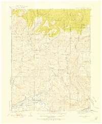
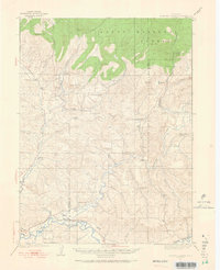
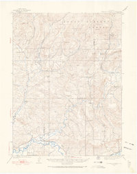
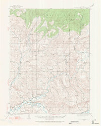
Elkhead Creek and the southern reaches of the Routt National Forest characterize this part of the Colorado high country during the early 1920s. A dense network of rural infrastructure supports a community tied to mining and ranching, evidenced by the numerous local schools like Bear Creek School and Long Gulch School distributed across the drainages. The landscape is marked by the presence of coal and mineral extraction at the Seymour Mine, Star Mine, and Bridges Mines, while the Benny Eans Ranger Station stands as a lonely outpost near Agger Creek.
Find a feature on this map
45 named features on this map. Tap any name to fly to it.
Don’t see what you’re looking for? This feature index may not catch every label — zoom into the map to look around manually.
Map Details
Editions of this 1923 Elkhead Creek Map
5 editions found
Other maps of this area

1910 · Danforth Hills
USGS Topo · 1:125,000

1915 · Monument Butte
USGS Topo · 1:62,500

1916 · Craig
USGS Topo · 1:125,000

1916 · Daton Peak
USGS Topo · 1:62,500

1920 · Daton Peak
USGS Topo · 1:62,500

1923 · Pilot Knob
USGS Topo · 1:62,500

1924 · Elkhead Creek
USGS Topo · 1:62,500

1924 · Mt. Harris
USGS Topo · 1:48,000

1925 · Pilot Knob
USGS Topo · 1:62,500

1926 · Mount Harris
USGS Topo · 1:62,500