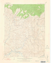
1923 Map of Elkhead Creek
USGS Topo · Published 1966About this map
Routt National Forest dominates the northern reaches of this Colorado landscape, where Slide Mtn and Pinnacle Mtn overlook a network of high-country drainages. The 1923 survey reveals a decentralized rural society defined by its cattle and coal interests, with a notable concentration of educational sites like Dry Fork School and Long Gulch School serving scattered homesteads. Industrial activity is clustered near Cedar Hill Gulch, where the Bridges Mine, Seymour Mine, and Star Mine signal the era's mineral development.
Find a feature on this map
40 named features on this map. Tap any name to fly to it.
Don’t see what you’re looking for? This feature index may not catch every label — zoom into the map to look around manually.
Map Details
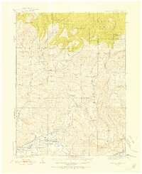
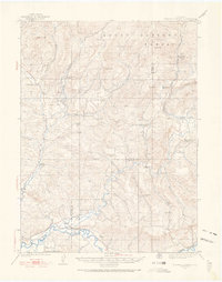
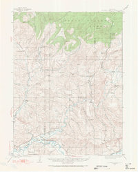
Editions of this 1923 Elkhead Creek Map
5 editions found
Other maps of this area

1910 · Danforth Hills
USGS Topo · 1:125,000

1915 · Monument Butte
USGS Topo · 1:62,500

1916 · Craig
USGS Topo · 1:125,000

1916 · Daton Peak
USGS Topo · 1:62,500

1920 · Daton Peak
USGS Topo · 1:62,500

1923 · Elkhead Creek
USGS Topo · 1:62,500

1923 · Pilot Knob
USGS Topo · 1:62,500

1924 · Elkhead Creek
USGS Topo · 1:62,500

1924 · Mt. Harris
USGS Topo · 1:48,000

1925 · Pilot Knob
USGS Topo · 1:62,500