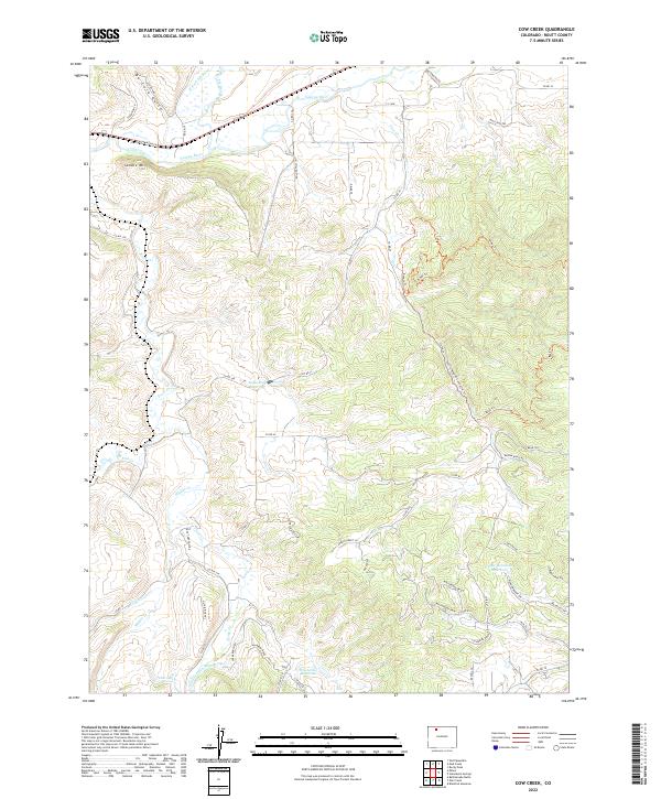
2022 Map of Cow Creek
USGS Topo · Published 2022About this map
Saddle Mtn and the broad drainage of the Yampa River dominate this landscape in Routt County, where high-country ranching and water management define the settlement patterns. The confluence of the Elk River and its western fork meets the Yampa near the northern edge, a vital junction for local hydrology. Throughout the terrain, evidence of early irrigation and resource engineering is visible via the Connel Ditch and the long course of Trout Cr Ditch Number 4. Several upland catchments, including Apple Dam Reservoir and the Upper Robinson Reservoir, illustrate the historical necessity of capturing seasonal runoff in this part of Colorado. A network of rural routes like Co RD 33 and Co RD 44 link isolated homesteads and pastures across the varied elevations of the Cow Creek quadrangle.
Find a feature on this map
60 named features on this map. Tap any name to fly to it.
Don’t see what you’re looking for? This feature index may not catch every label — zoom into the map to look around manually.
Map Details
Editions of this 2022 Cow Creek Map
This is the sole edition of this map. No revisions or reprints were ever made.
Other maps of this area

1911 · Hahns Peak
USGS Topo · 1:125,000

1913 · Hahns Peak
USGS Topo · 1:125,000

1923 · Pilot Knob
USGS Topo · 1:62,500

1924 · Mt. Harris
USGS Topo · 1:48,000

1925 · Pilot Knob
USGS Topo · 1:62,500

1926 · Mount Harris
USGS Topo · 1:62,500

1954 · Craig
USGS Topo · 1:250,000

1957 · Craig
USGS Topo · 1:250,000

1958 · Craig
USGS Topo · 1:250,000

1960 · Craig
USGS Topo · 1:250,000