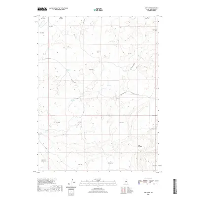
2020 Map of Cow Flats
USGS Topo · Published 2020About this map
Desert Lake Cem sits in the northwest corner of this Emery County landscape, marking a legacy of early settlement in a region defined by its complex drainage systems and arid plateaus. The terrain is characterized by a series of expansive flats and benches, including Cow Flats, Lemon Flats, and Wimmer Flat, which are bisected by numerous washes such as Desert Seep Wash and Red Holes Wash. Water management is a primary theme of the land use here, evidenced by the distribution of Cow Flat Reservoir, Dugway Reservoir, and several named seeps and springs.
Find a feature on this map
30 named features on this map. Tap any name to fly to it.
Don’t see what you’re looking for? This feature index may not catch every label — zoom into the map to look around manually.
Map Details
Editions of this 2020 Cow Flats Map
This is the sole edition of this map. No revisions or reprints were ever made.
Other maps of this area

1886 · Price River
USGS Topo · 1:250,000

1896 · Price River
USGS Topo · 1:250,000

1956 · Price
USGS Topo · 1:250,000

1960 · Price
USGS Topo · 1:250,000

1962 · Price
USGS Topo · 1:250,000

1969 · Olsen Reservoir
USGS Topo · 1:24,000
1969 · Chimney Rock
USGS Topo · 1:24,000
1969 · Bob Hill Knoll
USGS Topo · 1:24,000
1969 · Buckhorn Reservoir
USGS Topo · 1:24,000

1969 · Elmo
USGS Topo · 1:24,000