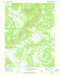
1969 Map of Chimney Rock
USGS Topo · Published 1972About this map
Huff Mountain and Cedar Mountain dominate this late-1960s landscape, where high plateaus and steep washes define the industrial and natural character of Emery County. The presence of an Old RR Grade cutting through the center of the sheet reveals the historical footprint of transport and resource extraction, complemented by several Drill Holes and a remote Landing Strip. These features suggest a mid-century period of mineral exploration and land management on the high flats. To the south, the terrain levels out into Big Flat and the Summit Area, punctuated by essential water sources like Wiregrass Spring and Big Hole Pond. Named landmarks such as the distinctive Chimney Rock and Pack Saddle Gulch provide specific reference points for navigating this complex system of ridges and hollows.
Find a feature on this map
31 named features on this map. Tap any name to fly to it.
Don’t see what you’re looking for? This feature index may not catch every label — zoom into the map to look around manually.
Map Details
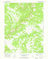
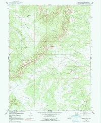
Editions of this 1969 Chimney Rock Map
3 editions found
Other maps of this area

1886 · Price River
USGS Topo · 1:250,000

1896 · Price River
USGS Topo · 1:250,000

1948 · Woodside
USGS Topo · 1:62,500

1949 · Woodside
USGS Topo · 1:62,500

1950 · Woodside
USGS Topo · 1:62,500

1953 · Red Plateau SE
USGS Topo · 1:24,000

1953 · Red Plateau SW
USGS Topo · 1:24,000

1953 · Beckwith Peak SW
USGS Topo · 1:24,000

1956 · Price
USGS Topo · 1:250,000

1960 · Price
USGS Topo · 1:250,000