
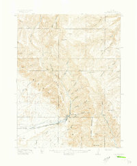
1949 Map of Woodside
USGS Topo · Published 1973About this map
The Price River cuts a winding path through this corner of Emery County, defining a landscape shaped by industrial extraction and high-desert ranching. At the southern edge, the small settlement of Woodside and its associated Woodside Sta serve as a focal point along the Denver and Rio Grande Western railroad. Further north, the Geneva Coal Mine near Horse Canyon indicates the area's mid-century economic reliance on coal production, with the terrain rising sharply into the Book Cliffs.
Find a feature on this map
32 named features on this map. Tap any name to fly to it.
Don’t see what you’re looking for? This feature index may not catch every label — zoom into the map to look around manually.
Map Details
Editions of this 1949 Woodside Map
This is the sole edition of this map. No revisions or reprints were ever made.
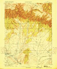
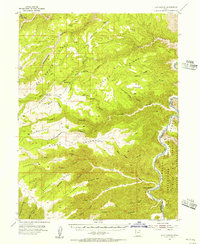
Other maps of this area

1886 · Price River
USGS Topo · 1:250,000

1896 · Price River
USGS Topo · 1:250,000
1915 · Sunnyside
USGS Topo · 1:62,500
1915 · Wellington
USGS Topo · 1:62,500

1948 · Woodside
USGS Topo · 1:62,500

1950 · Woodside
USGS Topo · 1:62,500
1954 · Flat Canyon
USGS Topo · 1:62,500
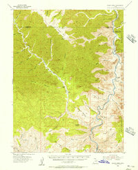
1954 · Range Creek
USGS Topo · 1:62,500

1956 · Price
USGS Topo · 1:250,000

1960 · Price
USGS Topo · 1:250,000