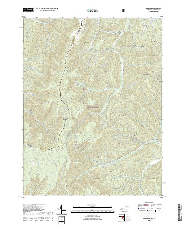
2022 Map of Cow Knob
USGS Topo · Published 2022About this map
George Washington National Forest blankets the borderlands of Virginia and West Virginia, dominated by the imposing heights of Shenandoah Mountain. This high-altitude landscape is defined by its deep drainages and sharp ridges, where the German River and Little Dry River carve through the sedimentary layers of the Appalachians. The terrain is a complex of family-named peaks and hollows, including Cow Knob and Kretchie Mtn, separated by features like Big Bear Hollow and Little Bear Hollow. The boundary between Pendleton and Rockingham counties follows the highest crests, illustrating how natural topography dictated political divisions. Historical access routes like Hall Spring Rd and Camp Run Rd penetrate the deep woods, connecting the remote watercourses of Lick Run and Sugar Run to the secondary roads in the valleys below.
Find a feature on this map
71 named features on this map. Tap any name to fly to it.
Don’t see what you’re looking for? This feature index may not catch every label — zoom into the map to look around manually.
Map Details
Editions of this 2022 Cow Knob Map
This is the sole edition of this map. No revisions or reprints were ever made.
Other maps of this area

1892 · Franklin
USGS Topo · 1:125,000

1892 · Woodstock
USGS Topo · 1:125,000

1896 · Franklin
USGS Topo · 1:125,000

1920 · Petersburg
USGS Topo · 1:48,000

1921 · Orkney Springs
USGS Topo · 1:48,000

1921 · Petersburg
USGS Topo · 1:48,000

1922 · Fort Seybert
USGS Topo · 1:48,000

1922 · Petersburg
USGS Topo · 1:62,500

1923 · Orkney Springs
USGS Topo · 1:62,500

1924 · Fort Seybert
USGS Topo · 1:62,500