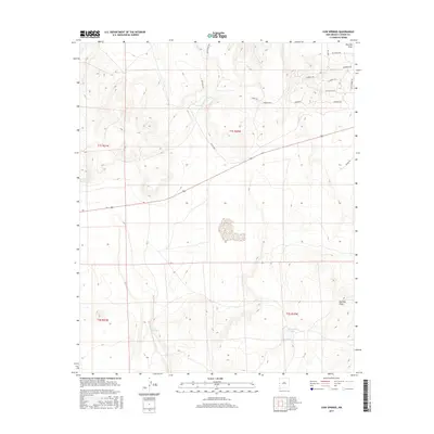
2017 Map of Cow Springs
USGS Topo · Published 2017About this map
Cow Springs and the ephemeral Chihuahua Lake define the hydrology of this high-altitude Catron County landscape. The terrain is shaped by volcanic features and high-desert drainage patterns, most notably around E Red Hill and the passage through Cowboy Pass. Ranching heritage is evident through a network of rural roads such as Old Ranch Rd and Cimerron Rd, which navigate the slopes between Mayes Wash and Red Hill Draw. This 2017 survey reflects a contemporary look at a remote part of western New Mexico where land use remains centered on large-scale grazing and resource management. The map provides a precise layout of the Public Land Survey System, marking the corners of several townships including t1s r21w and t2s r20w.
Find a feature on this map
19 named features on this map. Tap any name to fly to it.
Don’t see what you’re looking for? This feature index may not catch every label — zoom into the map to look around manually.
Map Details
Editions of this 2017 Cow Springs Map
This is the sole edition of this map. No revisions or reprints were ever made.
Other maps of this area

1886 · St Johns
USGS Topo · 1:250,000

1892 · St Johns
USGS Topo · 1:250,000

1954 · Saint Johns
USGS Topo · 1:250,000

1955 · Red Hill
USGS Topo · 1:24,000

1957 · Saint Johns
USGS Topo · 1:250,000

1958 · Saint Johns
USGS Topo · 1:250,000

1962 · Saint Johns
USGS Topo · 1:250,000
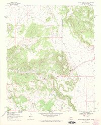
1968 · Nelson Reservoir NE
USGS Topo · 1:24,000
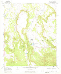
1968 · Loco Knoll
USGS Topo · 1:24,000
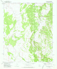
1971 · The Rincon
USGS Topo · 1:24,000