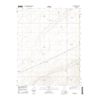
2014 Map of Cow Springs
USGS Topo · Published 2014About this map
Cow Springs serves as a central hub in this high-desert landscape, situated where the Us-160 corridor traverses the expansive Klethla Valley. The topography is defined by significant elevation changes, from the broad Shonto Plateau and Wild Man Mesa in the north to the deeply carved drainage of Shato Canyon. Water sources, though intermittent, dictate the geography of the region, evidenced by the convergence of Begashibito Wash and Porcupine Wash near the main settlement.
Find a feature on this map
22 named features on this map. Tap any name to fly to it.
Don’t see what you’re looking for? This feature index may not catch every label — zoom into the map to look around manually.
Map Details
Editions of this 2014 Cow Springs Map
This is the sole edition of this map. No revisions or reprints were ever made.
Other maps of this area

1883 · Marsh Pass
USGS Topo · 1:250,000

1892 · Marsh Pass
USGS Topo · 1:250,000

1956 · Marble Canyon
USGS Topo · 1:250,000

1959 · Marble Canyon
USGS Topo · 1:250,000

1961 · Marble Canyon
USGS Topo · 1:250,000

1970 · Cow Springs
USGS Topo · 1:24,000
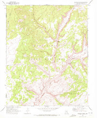
1970 · Kydestea Spring
USGS Topo · 1:24,000

1970 · Square Butte
USGS Topo · 1:24,000

1970 · Black Mesa Wash NW
USGS Topo · 1:24,000

1970 · Whirlwind Rock
USGS Topo · 1:24,000