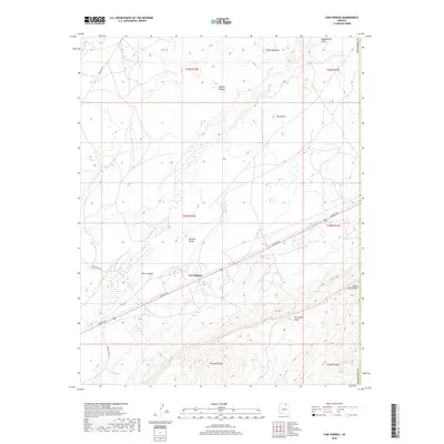
2018 Map of Cow Springs
USGS Topo · Published 2018About this map
Cow Springs serves as a central landmark in this high-desert landscape within Coconino County. The terrain is characterized by a complex network of plateaus and drainage systems, including the expansive Shonto Plateau and Wild Man Mesa. Significant transit corridors like the Navajo Trl and Indian Rte 16 cut through the topography, connecting the Klethla Valley to the surrounding heights. This survey highlights critical water sources in an arid environment, such as Reed Spring, Maitoh, and the seasonal channels of Begashibito Wash and Yellow Butte Wash. The map also captures several distinct landforms like Two Mesas and the carved depths of Shato Canyon, providing an essential look at the physical geography and road network of this portion of northern Arizona.
Find a feature on this map
23 named features on this map. Tap any name to fly to it.
Don’t see what you’re looking for? This feature index may not catch every label — zoom into the map to look around manually.
Map Details
Editions of this 2018 Cow Springs Map
This is the sole edition of this map. No revisions or reprints were ever made.
Other maps of this area

1883 · Marsh Pass
USGS Topo · 1:250,000

1892 · Marsh Pass
USGS Topo · 1:250,000

1956 · Marble Canyon
USGS Topo · 1:250,000

1959 · Marble Canyon
USGS Topo · 1:250,000

1961 · Marble Canyon
USGS Topo · 1:250,000

1970 · Cow Springs
USGS Topo · 1:24,000
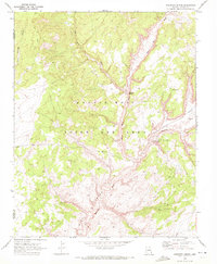
1970 · Kydestea Spring
USGS Topo · 1:24,000

1970 · Square Butte
USGS Topo · 1:24,000

1970 · Black Mesa Wash NW
USGS Topo · 1:24,000

1970 · Whirlwind Rock
USGS Topo · 1:24,000