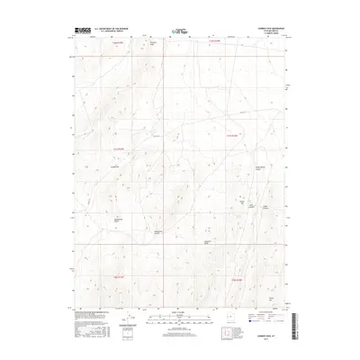
2017 Map of Cowboy Pass
USGS Topo · Published 2017About this map
Confusion Range terrain dominates this 2017 survey of West-Central Utah, where the landscape is defined by the sharp elevations of Plympton Ridge and Conger Mtn. This high-desert region is marked by significant topographical shifts, moving from the flat expanse of Rattlesnake Bench to the prominent peak at Rattlesnake Summit. A critical historical corridor is found in the traces of Old 6 & 50, which cuts through the mountains near the titular Cowboy Pass.
Find a feature on this map
18 named features on this map. Tap any name to fly to it.
Don’t see what you’re looking for? This feature index may not catch every label — zoom into the map to look around manually.
Map Details
Editions of this 2017 Cowboy Pass Map
This is the sole edition of this map. No revisions or reprints were ever made.
Other maps of this area

1908 · Fish Springs
USGS Topo · 1:250,000

1910 · Fish Springs
USGS Topo · 1:250,000

1953 · Delta
USGS Topo · 1:250,000

1958 · Delta
USGS Topo · 1:250,000

1959 · Cowboy Pass
USGS Topo · 1:62,500

1960 · Conger Range
USGS Topo · 1:62,500

1960 · Gandy
USGS Topo · 1:62,500

1960 · Conger Mountain
USGS Topo · 1:62,500

1962 · Delta
USGS Topo · 1:250,000
1981 · Tule Valley
USGS Topo · 1:100,000