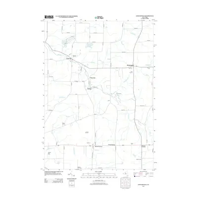
2013 Map of Cowlesville
USGS Topo · Published 2013About this map
Cowlesville and the surrounding rural landscape of Erie and Wyoming counties are defined by a network of creeks and small farming settlements. This 2013 survey reveals the persistent agricultural character of the region, where family and community heritage is anchored by several local burial grounds, including Cowlesville Village Cem and Sacred Heart Cem. The terrain is carved by the Cayuga Cr and its tributaries, such as Right Br Cayuga Cr and Red Brook, which shape the placement of historic roads and bridges.
Find a feature on this map
72 named features on this map. Tap any name to fly to it.
Don’t see what you’re looking for? This feature index may not catch every label — zoom into the map to look around manually.
Map Details
Editions of this 2013 Cowlesville Map
This is the sole edition of this map. No revisions or reprints were ever made.
Other maps of this area

1905 · Attica
USGS Topo · 1:62,500

1905 · Depew
USGS Topo · 1:62,500

1923 · Arcade
USGS Topo · 1:62,500

1925 · Springville
USGS Topo · 1:62,500

1925 · Arcade
USGS Topo · 1:62,500

1944 · Alexander
USGS Topo · 1:31,680

1948 · Depew
USGS Topo · 1:62,500

1949 · Attica
USGS Topo · 1:62,500

1949 · Alexander
USGS Topo · 1:24,000

1949 · Cowlesville
USGS Topo · 1:24,000