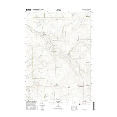
2016 Map of Cowlesville
USGS Topo · Published 2016About this map
Cayuga Creek winds through the heart of this landscape, carving a valley that defines the local geography near Cowlesville. This area at the intersection of Erie, Genesee, and Wyoming Counties maintains a distinctly rural character, where small clusters of settlement like Folsomdale and Bennington are connected by a network of country roads. The map reveals a high concentration of small family and community burial grounds, including the Hedges Cem, Persons Cem, and Cowlesville Village Cem, which serve as vital touchstones for genealogical research in western New York.
Find a feature on this map
74 named features on this map. Tap any name to fly to it.
Don’t see what you’re looking for? This feature index may not catch every label — zoom into the map to look around manually.
Map Details
Editions of this 2016 Cowlesville Map
This is the sole edition of this map. No revisions or reprints were ever made.
Other maps of this area

1905 · Attica
USGS Topo · 1:62,500

1905 · Depew
USGS Topo · 1:62,500

1923 · Arcade
USGS Topo · 1:62,500

1925 · Springville
USGS Topo · 1:62,500

1925 · Arcade
USGS Topo · 1:62,500

1944 · Alexander
USGS Topo · 1:31,680

1948 · Depew
USGS Topo · 1:62,500

1949 · Attica
USGS Topo · 1:62,500

1949 · Alexander
USGS Topo · 1:24,000

1949 · Cowlesville
USGS Topo · 1:24,000