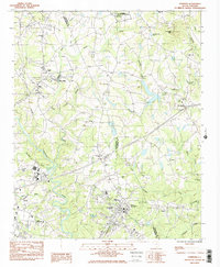
1983 Map of Cowpens
USGS Topo · Published 1983About this map
The Cowpens National Battlefield anchors the northern reaches of this upstate South Carolina landscape, preserving the site of a pivotal Revolutionary War engagement along the Cherokee and Spartanburg County border. The map reveals a post-war rural industrial and religious network, centered around the Mayo Mills area and the town of Cowpens. Transportation corridors are defined by the Seaboard and Southern railroads, which facilitated the movement of goods and people between the rolling hills and water bodies like Thicketty Mtn Lake.
Find a feature on this map
44 named features on this map. Tap any name to fly to it.
Don’t see what you’re looking for? This feature index may not catch every label — zoom into the map to look around manually.
Map Details
Editions of this 1983 Cowpens Map
2 editions found
Other maps of this area

1909 · Gaffney
USGS Topo · 1:62,500

1941 · Spartanburg
USGS Topo · 1:250,000

1947 · Spartanburg
USGS Topo · 1:62,500

1949 · Spartanburg
USGS Topo · 1:24,000

1949 · Spartanburg
USGS Topo · 1:62,500

1953 · Spartanburg
USGS Topo · 1:250,000

1953 · Charlotte
USGS Topo · 1:250,000

1954 · Charlotte
USGS Topo · 1:250,000

1959 · Cowpens
USGS Topo · 1:62,500

1960 · Charlotte
USGS Topo · 1:250,000