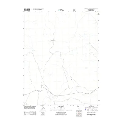
2012 Map of Cowtrack Mountain
USGS Topo · Published 2012About this map
Cowtrack Mountain and Granite Mountain dominate this high-desert landscape in eastern California, where the reliance on scattered water sources is evident through numerous mapped points. Small vital sites like Cowtrack Spring, Indian Spring, and Gaspipe Spring dot the terrain, serving as critical landmarks in an otherwise arid expanse. The transportation network is defined by a system of forest and local roads, including Baxters Rd and the Mc Pherson route, which navigate the elevations around Granite Basin. This 2012 survey illustrates the modern configuration of access roads and hydraulic features within Mono County, showing how historical naming conventions for springs and family-named roads like Baxter Spring persist into the twenty-first century.
Find a feature on this map
14 named features on this map. Tap any name to fly to it.
Don’t see what you’re looking for? This feature index may not catch every label — zoom into the map to look around manually.
Map Details
Editions of this 2012 Cowtrack Mountain Map
This is the sole edition of this map. No revisions or reprints were ever made.
Other maps of this area

1909 · Hawthorne
USGS Topo · 1:250,000

1911 · Hawthorne
USGS Topo · 1:250,000

1914 · Mt. Morrison
USGS Topo · 1:125,000

1915 · Hawthorne
USGS Topo · 1:250,000

1947 · Mariposa
USGS Topo · 1:250,000

1948 · Walker Lake
USGS Topo · 1:250,000

1948 · Mariposa
USGS Topo · 1:250,000

1957 · Walker Lake
USGS Topo · 1:250,000

1957 · Mariposa
USGS Topo · 1:250,000

1958 · Trench Canyon
USGS Topo · 1:62,500