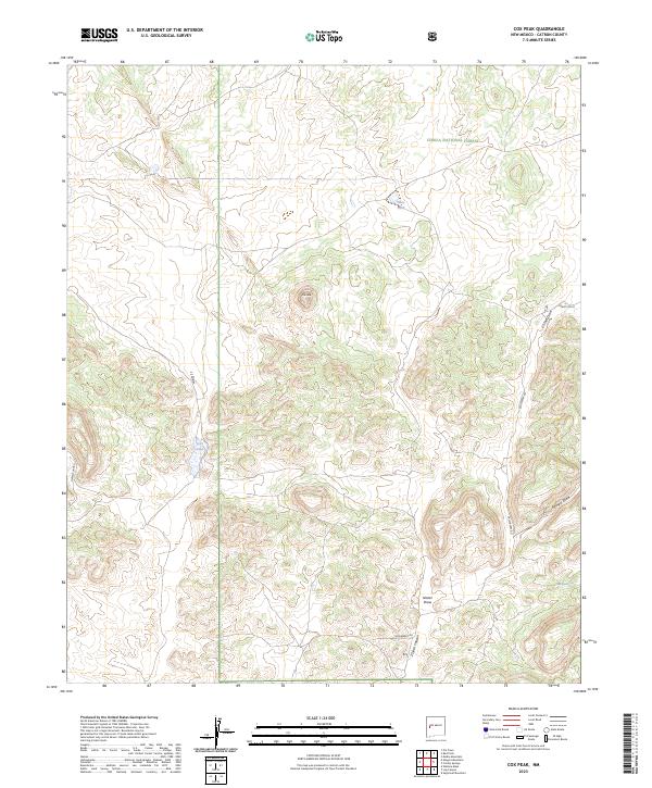
2023 Map of Cox Peak
USGS Topo · Published 2023About this map
Cox Peak rises as the central topographic landmark within this high-elevation portion of the Cibola National Forest. The landscape is defined by a series of distinct drainages and canyons, including Z Slash Canyon, Nester Draw, and the curiously named Flying-V-Draw. Water sources are sparse but critical, represented by Jones Spring and Flats Tank, which suggest the historic and ongoing importance of livestock management in this part of Catron County.
Find a feature on this map
17 named features on this map. Tap any name to fly to it.
Don’t see what you’re looking for? This feature index may not catch every label — zoom into the map to look around manually.
Map Details
Editions of this 2023 Cox Peak Map
This is the sole edition of this map. No revisions or reprints were ever made.
Other maps of this area

1954 · Saint Johns
USGS Topo · 1:250,000

1954 · Socorro
USGS Topo · 1:250,000

1957 · Saint Johns
USGS Topo · 1:250,000

1958 · Socorro
USGS Topo · 1:250,000

1958 · Saint Johns
USGS Topo · 1:250,000

1962 · Socorro
USGS Topo · 1:250,000

1962 · Saint Johns
USGS Topo · 1:250,000
1964 · Madre Mountain
USGS Topo · 1:24,000

1964 · Crosby Springs
USGS Topo · 1:24,000
1965 · Sugarloaf Mountain
USGS Topo · 1:24,000