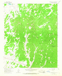
1964 Map of Madre Mountain
USGS Topo · Published 1967About this map
Cibola National Forest encompasses the high country of west-central New Mexico in this 1960s topographic survey, where the Sawtooth Mountains and Datil Mountains converge. The landscape is defined by its water management and grazing history, evidenced by numerous named improvements such as Sawtooth Tank, Red Tank, and Webster Tank. Human presence in this high-altitude terrain is sparse but permanent, centered on locations like the Double Circle Ranch and the isolated Webster Cabin near Deer Canyon.
Find a feature on this map
38 named features on this map. Tap any name to fly to it.
Don’t see what you’re looking for? This feature index may not catch every label — zoom into the map to look around manually.
Map Details
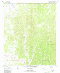
Editions of this 1964 Madre Mountain Map
2 editions found
Other maps of this area

1954 · Saint Johns
USGS Topo · 1:250,000

1954 · Socorro
USGS Topo · 1:250,000

1957 · Saint Johns
USGS Topo · 1:250,000

1958 · Socorro
USGS Topo · 1:250,000

1958 · Saint Johns
USGS Topo · 1:250,000

1962 · Socorro
USGS Topo · 1:250,000

1962 · Saint Johns
USGS Topo · 1:250,000

1963 · Cal Ship Mesa
USGS Topo · 1:24,000

1963 · Datil
USGS Topo · 1:24,000

1964 · Third Canyon
USGS Topo · 1:24,000