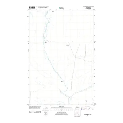
2011 Map of Coyote Butte
USGS Topo · Published 2011About this map
Cow Creek winds through the volcanic landscape of Adams County, carving a narrow corridor through the basalt of the Channeled Scablands. This 2011 survey captures the area surrounding the small settlements of Mack and Thavis, where the high desert terrain is punctuated by significant geological features like Coyote Butte and Terksaleeze Butte. The landscape is defined by the intersection of early transportation routes and modern agriculture, with Old Military Rd and Mack Rd crossing the sagebrush flats.
Find a feature on this map
13 named features on this map. Tap any name to fly to it.
Don’t see what you’re looking for? This feature index may not catch every label — zoom into the map to look around manually.
Map Details
Editions of this 2011 Coyote Butte Map
This is the sole edition of this map. No revisions or reprints were ever made.
Other maps of this area

1923 · Washtucna
USGS Topo · 1:62,500

1925 · Washtucna
USGS Topo · 1:62,500

1950 · Benge
USGS Topo · 1:62,500

1952 · Benge
USGS Topo · 1:62,500

1953 · Walla Walla
USGS Topo · 1:250,000

1953 · Ritzville
USGS Topo · 1:250,000

1958 · Walla Walla
USGS Topo · 1:250,000

1959 · Ritzville
USGS Topo · 1:250,000

1964 · Macall
USGS Topo · 1:24,000

1964 · Marengo
USGS Topo · 1:24,000