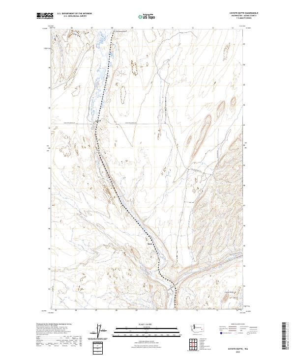
2023 Map of Coyote Butte
USGS Topo · Published 2023About this map
Cow Creek meanders through the heart of this Adams County landscape, carving a corridor through the basalt-pocked terrain between Terksaleeza Butte and its namesake, Coyote Butte. The topography is defined by the Scablands' signature drainage patterns, where water bodies like Red Lake and Spider Lake punctuate the arid surroundings. This modern survey reflects the area's transition from early pioneer routes to contemporary conservation and recreation, most notably along the Columbia Plateau State Park-Trl, which follows a former rail grade across the map.
Find a feature on this map
17 named features on this map. Tap any name to fly to it.
Don’t see what you’re looking for? This feature index may not catch every label — zoom into the map to look around manually.
Map Details
Editions of this 2023 Coyote Butte Map
This is the sole edition of this map. No revisions or reprints were ever made.
Other maps of this area

1923 · Washtucna
USGS Topo · 1:62,500

1925 · Washtucna
USGS Topo · 1:62,500

1950 · Benge
USGS Topo · 1:62,500

1952 · Benge
USGS Topo · 1:62,500

1953 · Walla Walla
USGS Topo · 1:250,000

1953 · Ritzville
USGS Topo · 1:250,000

1958 · Walla Walla
USGS Topo · 1:250,000

1959 · Ritzville
USGS Topo · 1:250,000

1964 · Macall
USGS Topo · 1:24,000

1964 · Marengo
USGS Topo · 1:24,000