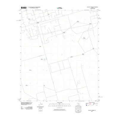
2010 Map of Coyote Corner
USGS Topo · Published 2010About this map
The Andector Oil Field dominates this central Texas landscape, where industrial extraction and traditional ranching coexist in the high plains. The intersection of S FM 181 and SW 7000 defines the small settlement at Coyote Corner, serving as a focal point for a region characterized by expansive properties like the Wyche Ranch and Embar Ranch.
Find a feature on this map
22 named features on this map. Tap any name to fly to it.
Don’t see what you’re looking for? This feature index may not catch every label — zoom into the map to look around manually.
Map Details
Editions of this 2010 Coyote Corner Map
This is the sole edition of this map. No revisions or reprints were ever made.
Other maps of this area

1954 · Hobbs
USGS Topo · 1:250,000

1954 · Pecos
USGS Topo · 1:250,000

1957 · Pecos
USGS Topo · 1:250,000

1958 · Hobbs
USGS Topo · 1:250,000

1964 · Turnbaugh Corner
USGS Topo · 1:24,000

1965 · Goldsmith
USGS Topo · 1:24,000

1967 · North Cowden
USGS Topo · 1:24,000

1968 · Coyote Corner
USGS Topo · 1:24,000

1968 · North Cowden NW
USGS Topo · 1:24,000

1968 · Clabber Hill Ranch
USGS Topo · 1:24,000