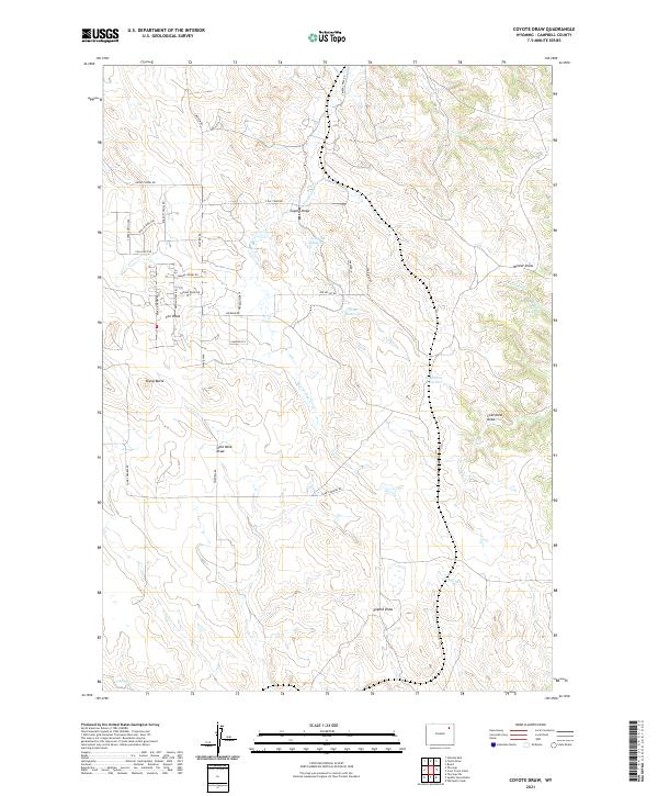
2021 Map of Coyote Draw
USGS Topo · Published 2021About this map
The drainage basins of the Powder River country are revealed in detail across this recent survey of Coyote Draw in Campbell County. The landscape is defined by the ephemeral waters of Dry Donkey Cr and Timber Cr, which feed a series of earthen impoundments including Coyote Reservoir, Drum Reservoir, and Coal Mine Reservoir. The naming conventions found throughout the quadrangle, such as Gold Mine Draw and Coal Mine Draw, speak to the long-standing mineral extraction history of the region.
Find a feature on this map
39 named features on this map. Tap any name to fly to it.
Don’t see what you’re looking for? This feature index may not catch every label — zoom into the map to look around manually.
Map Details
Editions of this 2021 Coyote Draw Map
This is the sole edition of this map. No revisions or reprints were ever made.
Other maps of this area

1954 · Gillette
USGS Topo · 1:250,000

1955 · Gillette
USGS Topo · 1:250,000

1958 · Gillette
USGS Topo · 1:250,000

1962 · Gillette
USGS Topo · 1:250,000

1971 · Coyote Draw
USGS Topo · 1:24,000

1971 · Coon Track Creek
USGS Topo · 1:24,000

1971 · The Gap SW
USGS Topo · 1:24,000

1971 · Whitetail Creek
USGS Topo · 1:24,000

1971 · Rozet
USGS Topo · 1:24,000

1971 · Gillette East
USGS Topo · 1:24,000