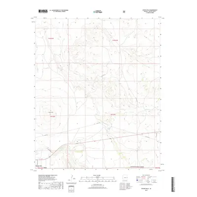
2018 Map of Coyote Hills
USGS Topo · Published 2018About this map
The high-altitude drainage systems of Coyote Cr and Nutrioso Cr define this section of eastern Arizona on the edge of the Apache National Forest. Centered on the volcanic landforms of the Coyote Hills, the map illustrates a landscape shaped by both natural water sources like Horseshoe Spring and the historical transit routes of the White Mountains. The southern edge captures the residential outskirts of Springerville and Eagar, where local infrastructure such as Bronson Blvd and Rogers Ranch Rd meets the open range. Traces of earlier transportation are visible in the winding path of Old US Hwy 60, which cuts across the township lines of T9N R30E. This survey provides a precise view of the transition from the town centers to the surrounding arid terrain, marked by scattered water features like Coyote Spring that were vital to the region's ranching heritage.
Find a feature on this map
19 named features on this map. Tap any name to fly to it.
Don’t see what you’re looking for? This feature index may not catch every label — zoom into the map to look around manually.
Map Details
Editions of this 2018 Coyote Hills Map
This is the sole edition of this map. No revisions or reprints were ever made.
Other maps of this area

1886 · St Johns
USGS Topo · 1:250,000

1892 · St Johns
USGS Topo · 1:250,000

1954 · Saint Johns
USGS Topo · 1:250,000

1957 · Saint Johns
USGS Topo · 1:250,000

1958 · Saint Johns
USGS Topo · 1:250,000

1962 · Saint Johns
USGS Topo · 1:250,000
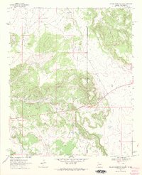
1968 · Nelson Reservoir NE
USGS Topo · 1:24,000
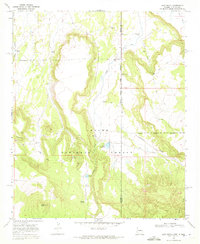
1968 · Loco Knoll
USGS Topo · 1:24,000

1969 · Coyote Hills
USGS Topo · 1:24,000
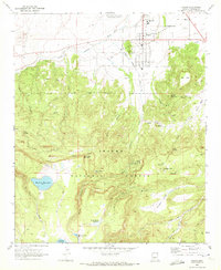
1969 · Eagar
USGS Topo · 1:24,000