
1969 Map of Coyote Hills
USGS Topo · Published 1972About this map
Coyote Hills dominates this high-altitude landscape in eastern Arizona, where the terrain is defined by the drainage patterns of Coyote Creek and Nutrioso Creek. The area within the Apache National Forest shows a landscape managed for ranching and resource extraction in the late 1960s. Ranching activity is centered around the Coyote Ranch and various scattered corrals, while the local economy is further represented by a Gravel Pit near the southern boundary.
Find a feature on this map
15 named features on this map. Tap any name to fly to it.
Don’t see what you’re looking for? This feature index may not catch every label — zoom into the map to look around manually.
Map Details
Editions of this 1969 Coyote Hills Map
This is the sole edition of this map. No revisions or reprints were ever made.
Other maps of this area

1886 · St Johns
USGS Topo · 1:250,000

1892 · St Johns
USGS Topo · 1:250,000

1954 · Saint Johns
USGS Topo · 1:250,000

1957 · Saint Johns
USGS Topo · 1:250,000

1958 · Saint Johns
USGS Topo · 1:250,000

1962 · Saint Johns
USGS Topo · 1:250,000
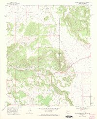
1968 · Nelson Reservoir NE
USGS Topo · 1:24,000
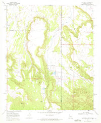
1968 · Loco Knoll
USGS Topo · 1:24,000
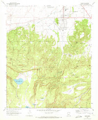
1969 · Eagar
USGS Topo · 1:24,000
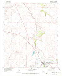
1969 · Springerville
USGS Topo · 1:24,000