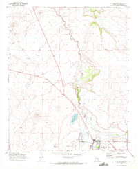
1969 Map of Springerville
USGS Topo · Published 1972About this map
Round Valley serves as the focal point for this late 1960s survey, where the town of Springerville sits at the junction of critical high-altitude waterways and transport routes. The Little Colorado River winds through the landscape, feeding into Becker Lake and passing near the sewage disposal pond, illustrating the intersection of natural hydrology and growing municipal infrastructure. To the west and north, several cinder pits and Cinder Pits reflect the region's volcanic geology and extractive industry, while the Springerville-Eagar Municipal Airport marks the area's mid-century expansion.
Find a feature on this map
20 named features on this map. Tap any name to fly to it.
Don’t see what you’re looking for? This feature index may not catch every label — zoom into the map to look around manually.
Map Details
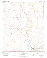
Editions of this 1969 Springerville Map
2 editions found
Other maps of this area

1886 · St Johns
USGS Topo · 1:250,000

1892 · St Johns
USGS Topo · 1:250,000

1954 · Saint Johns
USGS Topo · 1:250,000

1957 · Saint Johns
USGS Topo · 1:250,000

1958 · Saint Johns
USGS Topo · 1:250,000

1962 · Saint Johns
USGS Topo · 1:250,000

1968 · Springerville NW
USGS Topo · 1:24,000

1969 · Coyote Hills
USGS Topo · 1:24,000
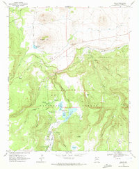
1969 · Greer
USGS Topo · 1:24,000
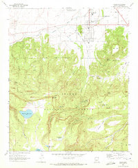
1969 · Eagar
USGS Topo · 1:24,000