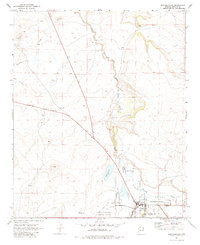
1969 Map of Springerville
USGS Topo · Published 1984About this map
The high-country landscape of Round Valley is the focal point of this late-1960s survey, dominated by the settlement of Springerville. The town's corporate boundary encompasses a developed core at the confluence of the Little Colorado River and Nutrioso Creek, reflecting a community tied to the fertile valley bottom and its essential water sources. The map provides significant topographic detail of the surrounding volcanic terrain, evidenced by several Cinder Pits and a Gravel Pit scattered across the high plains. Infrastructure is concentrated near the settlement, including the Springerville-Eagar Municipal Airport and a prominent Substation. For those searching for specific historical markers, a single Grave is noted south of the main town area, while Becker Lake serves as a major landmark just north of the municipal center. The drainage patterns of Carnero Creek and Picnic Creek further illustrate the area's complex hydrology during this period.
Find a feature on this map
19 named features on this map. Tap any name to fly to it.
Don’t see what you’re looking for? This feature index may not catch every label — zoom into the map to look around manually.
Map Details
Editions of this 1969 Springerville Map
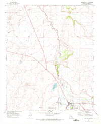
2 editions found
Other maps of this area

1886 · St Johns
USGS Topo · 1:250,000

1892 · St Johns
USGS Topo · 1:250,000

1954 · Saint Johns
USGS Topo · 1:250,000

1957 · Saint Johns
USGS Topo · 1:250,000

1958 · Saint Johns
USGS Topo · 1:250,000

1962 · Saint Johns
USGS Topo · 1:250,000

1968 · Springerville NW
USGS Topo · 1:24,000

1969 · Coyote Hills
USGS Topo · 1:24,000
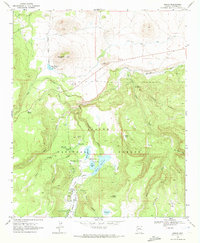
1969 · Greer
USGS Topo · 1:24,000
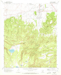
1969 · Eagar
USGS Topo · 1:24,000