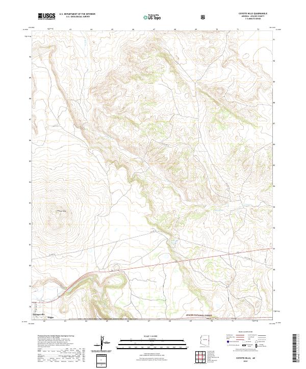
2021 Map of Coyote Hills
USGS Topo · Published 2021About this map
Springerville and Eagar anchor the southwestern corner of this survey, where the high desert terrain meets the northern edge of the Apache National Forest. The landscape is dominated by the Coyote Hills, a series of prominent rises north of the settlements. Water patterns in this arid region are traced by the seasonal flow of Coyote Creek and Nutrioso Creek, with critical water sources like Horseshoe Spring and Coyote Spring providing life to the surrounding range.
Find a feature on this map
17 named features on this map. Tap any name to fly to it.
Don’t see what you’re looking for? This feature index may not catch every label — zoom into the map to look around manually.
Map Details
Editions of this 2021 Coyote Hills Map
This is the sole edition of this map. No revisions or reprints were ever made.
Other maps of this area

1886 · St Johns
USGS Topo · 1:250,000

1892 · St Johns
USGS Topo · 1:250,000

1954 · Saint Johns
USGS Topo · 1:250,000

1957 · Saint Johns
USGS Topo · 1:250,000

1958 · Saint Johns
USGS Topo · 1:250,000

1962 · Saint Johns
USGS Topo · 1:250,000
1968 · Nelson Reservoir NE
USGS Topo · 1:24,000
1968 · Loco Knoll
USGS Topo · 1:24,000

1969 · Coyote Hills
USGS Topo · 1:24,000
1969 · Eagar
USGS Topo · 1:24,000