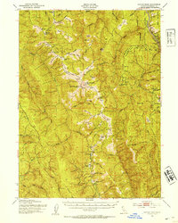
1952 Map of Coyote Peak
USGS Topo · Published 1954About this map
Redwood Creek and the Klamath River carve through this section of Humboldt County, defining a landscape of high ridges and isolated prairies. The map shows the western edge of the Hoopa Valley Indian Reservation, where the Martins Ferry Bridge serves as a critical crossing point near Martins Ferry. Settlement patterns are distinctly rural, anchored by family-named holdings such as the Anton Lyons Ranch, Stover Ranch, and Rube Ranch.
Find a feature on this map
76 named features on this map. Tap any name to fly to it.
Don’t see what you’re looking for? This feature index may not catch every label — zoom into the map to look around manually.
Map Details
Editions of this 1952 Coyote Peak Map
5 editions found

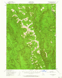
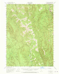
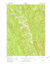
Other maps of this area

1915 · Big Bar and Vicinity
USGS Topo · 1:250,000

1922 · Eureka
USGS Topo · 1:62,500

1922 · Korbel
USGS Topo · 1:62,500

1922 · China Flat
USGS Topo · 1:62,500

1925 · Hoopa
USGS Topo · 1:125,000

1933 · Eureka
USGS Topo · 1:48,000

1942 · Eureka
USGS Topo · 1:62,500

1945 · Orick
USGS Topo · 1:62,500

1945 · Trinidad
USGS Topo · 1:62,500

1945 · Coyote Peak
USGS Topo · 1:62,500