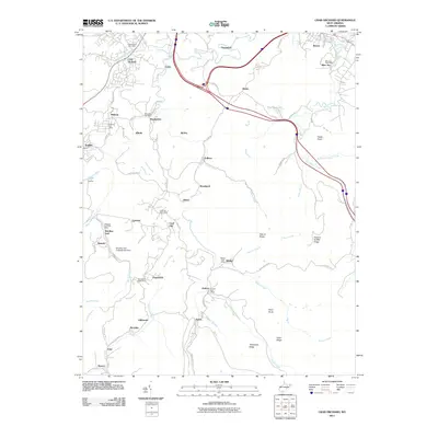
2011 Map of Crab Orchard
USGS Topo · Published 2011About this map
Coal City and surrounding communities define the landscape of this southern West Virginia mining region. The map highlights a dense network of small company-built settlements including Affinity, Lymwinn, Fireco, and Lillybrook, many of which were centers of the local coal industry. The presence of numerous active or formerly active service points like the Coal City Post Office and Princewick Post Office suggests the historical population density of these hollows.
Find a feature on this map
88 named features on this map. Tap any name to fly to it.
Don’t see what you’re looking for? This feature index may not catch every label — zoom into the map to look around manually.
Map Details
Editions of this 2011 Crab Orchard Map
This is the sole edition of this map. No revisions or reprints were ever made.
Other maps of this area

1891 · Raleigh
USGS Topo · 1:125,000

1897 · Raleigh
USGS Topo · 1:125,000

1902 · Raleigh
USGS Topo · 1:125,000

1911 · Marshes
USGS Topo · 1:48,000

1911 · Flattop
USGS Topo · 1:48,000

1911 · Beckley
USGS Topo · 1:48,000

1912 · Mullens
USGS Topo · 1:62,500

1913 · Beckley
USGS Topo · 1:62,500

1914 · Eccles
USGS Topo · 1:62,500

1914 · Flattop
USGS Topo · 1:62,500