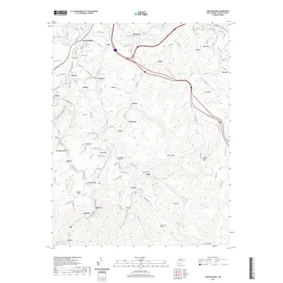
2019 Map of Crab Orchard
USGS Topo · Published 2019About this map
Guyandotte Mountain serves as a central high point in this 2019 survey of Raleigh County, West Virginia, where a dense network of mining and residential settlements reflects the region's industrial heritage. The landscape is characterized by narrow valleys and steep ridges like Take-In Ridge and Mitchell Ridge, which have historically dictated the placement of communities such as Sophia, Crab Orchard, and Coal City. Transport routes such as Old State Rte 54 and the modern highway system wind through the terrain, connecting legacy coal towns like Affinity, Lynwinn, and Fireco.
Find a feature on this map
118 named features on this map. Tap any name to fly to it.
Don’t see what you’re looking for? This feature index may not catch every label — zoom into the map to look around manually.
Map Details
Editions of this 2019 Crab Orchard Map
This is the sole edition of this map. No revisions or reprints were ever made.
Other maps of this area

1891 · Raleigh
USGS Topo · 1:125,000

1897 · Raleigh
USGS Topo · 1:125,000

1902 · Raleigh
USGS Topo · 1:125,000

1911 · Marshes
USGS Topo · 1:48,000

1911 · Flattop
USGS Topo · 1:48,000

1911 · Beckley
USGS Topo · 1:48,000

1912 · Mullens
USGS Topo · 1:62,500

1913 · Beckley
USGS Topo · 1:62,500

1914 · Eccles
USGS Topo · 1:62,500

1914 · Flattop
USGS Topo · 1:62,500