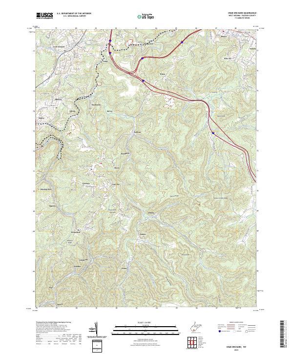
2023 Map of Crab Orchard
USGS Topo · Published 2023About this map
The rugged coal-country terrain of southern Raleigh County is defined by the ridge of Guyandotte Mountain and the deep valleys formed by Piney Creek and Winding Gulf. This modern survey reveals a landscape etched with small mining-era settlements, many of which are linked by winding routes like Co Rte 1/8 and Co Rte 54-1. The northern section shows more concentrated development around Crab Orchard and Beaver, while the southern reaches contain smaller enclaves such as Fireco, Lillybrook, and Besoco. Educational and religious landmarks like Stoco High Sch and Crab Orchard Ch remain central to the community's geographic identity. The intricate hydrography, including Bowyer Creek and the Glade Fork, underscores the steep elevation changes that have historically shaped the region's transport and industry.
Find a feature on this map
156 named features on this map. Tap any name to fly to it.
Don’t see what you’re looking for? This feature index may not catch every label — zoom into the map to look around manually.
Map Details
Editions of this 2023 Crab Orchard Map
This is the sole edition of this map. No revisions or reprints were ever made.
Other maps of this area

1891 · Raleigh
USGS Topo · 1:125,000

1897 · Raleigh
USGS Topo · 1:125,000

1902 · Raleigh
USGS Topo · 1:125,000

1911 · Marshes
USGS Topo · 1:48,000

1911 · Flattop
USGS Topo · 1:48,000

1911 · Beckley
USGS Topo · 1:48,000

1912 · Mullens
USGS Topo · 1:62,500

1913 · Beckley
USGS Topo · 1:62,500

1914 · Eccles
USGS Topo · 1:62,500

1914 · Flattop
USGS Topo · 1:62,500