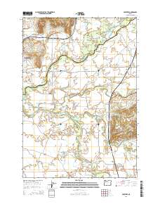
2014 Map of Crabtree
USGS Topo · Published 2014About this map
Jefferson sits at the western edge of this valley landscape, where the North Santiam River and South Santiam River converge amidst a complex network of waterways. The terrain is defined by the broad alluvial plains of McKinney Bottom and Independence Prairie, which are carved by numerous sloughs and ditches including Logan Slough and the Jefferson Ditch. This 2014 survey reveals an agricultural and residential pattern heavily influenced by the seasonal flow of the rivers, with several reservoirs like Wil-Lyn Reservoir and Helms Reservoir managing the water across the basin.
Find a feature on this map
93 named features on this map. Tap any name to fly to it.
Don’t see what you’re looking for? This feature index may not catch every label — zoom into the map to look around manually.
Map Details
Editions of this 2014 Crabtree Map
This is the sole edition of this map. No revisions or reprints were ever made.
Other maps of this area

1911 · Lebanon
USGS Topo · 1:31,680

1911 · Tangent
USGS Topo · 1:31,680

1912 · Jefferson
USGS Topo · 1:31,680

1915 · Sidney
USGS Topo · 1:31,680

1916 · Albany
USGS Topo · 1:62,500

1917 · Salem
USGS Topo · 1:62,500

1921 · Lebanon
USGS Topo · 1:62,500

1922 · Lebanon
USGS Topo · 1:48,000

1924 · Lebanon
USGS Topo · 1:62,500

1925 · Stayton
USGS Topo · 1:62,500