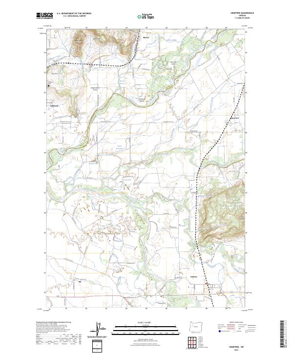
2023 Map of Crabtree
USGS Topo · Published 2023About this map
The North Santiam River and South Santiam River define the agricultural landscape of the Willamette Valley in this modern survey. The map details the complex hydraulic history of the region, from the natural flow of Thomas Creek and Crabtree Creek to the engineered systems of the Sidney Ditch and Jefferson Ditch. These waterways support long-standing communities like Jefferson and Marion, as well as the open reaches of Independence Prairie.
Find a feature on this map
97 named features on this map. Tap any name to fly to it.
Don’t see what you’re looking for? This feature index may not catch every label — zoom into the map to look around manually.
Map Details
Editions of this 2023 Crabtree Map
This is the sole edition of this map. No revisions or reprints were ever made.
Other maps of this area

1911 · Lebanon
USGS Topo · 1:31,680

1911 · Tangent
USGS Topo · 1:31,680

1912 · Jefferson
USGS Topo · 1:31,680

1915 · Sidney
USGS Topo · 1:31,680

1916 · Albany
USGS Topo · 1:62,500

1917 · Salem
USGS Topo · 1:62,500

1921 · Lebanon
USGS Topo · 1:62,500

1922 · Lebanon
USGS Topo · 1:48,000

1924 · Lebanon
USGS Topo · 1:62,500

1925 · Stayton
USGS Topo · 1:62,500