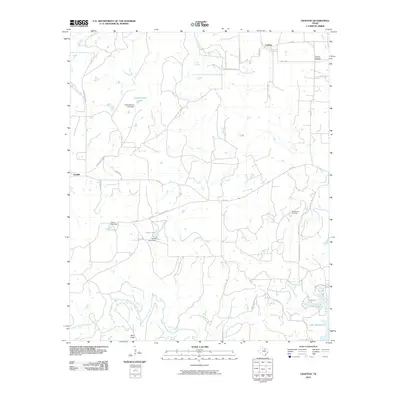
2010 Map of Crafton
USGS Topo · Published 2010About this map
Crafton and Cundiff sit within a landscape of ranching and resource extraction in the early 21st century. The terrain is marked by the winding course of the West Fork Trinity River and its tributaries, including Big Creek and Pecan Branch. Human impact on the hydrology is evident through several small impoundments such as Cherryhomes Lake and Grace Lake, each with its own identified dam structure.
Find a feature on this map
36 named features on this map. Tap any name to fly to it.
Don’t see what you’re looking for? This feature index may not catch every label — zoom into the map to look around manually.
Map Details
Editions of this 2010 Crafton Map
This is the sole edition of this map. No revisions or reprints were ever made.
Other maps of this area

1954 · Sherman
USGS Topo · 1:250,000

1954 · Wichita Falls
USGS Topo · 1:250,000

1958 · Wichita Falls
USGS Topo · 1:250,000

1958 · Sherman
USGS Topo · 1:250,000

1960 · Bridgeport West
USGS Topo · 1:24,000

1960 · Wizard Wells
USGS Topo · 1:24,000

1961 · Selma
USGS Topo · 1:24,000

1961 · Jacksboro NE
USGS Topo · 1:24,000

1961 · Sunset
USGS Topo · 1:24,000

1961 · Crafton
USGS Topo · 1:24,000