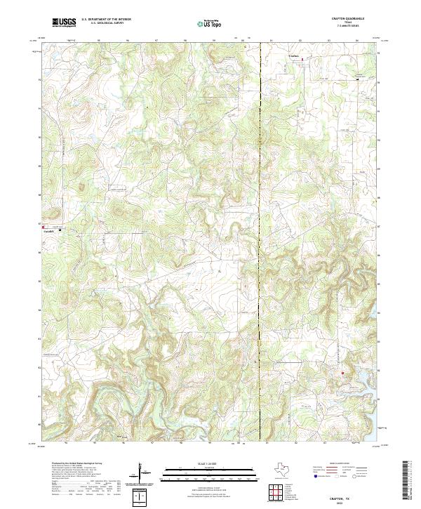
2022 Map of Crafton
USGS Topo · Published 2022About this map
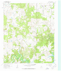
Crafton and Cundiff serve as the primary anchors of this rural landscape, situated along the line between Jack and Wise counties. The terrain is defined by the winding course of the West Fork Trinity River in the south, which feeds into the wetlands near Bear Knob. Throughout the quadrangle, smaller water bodies like Grace Lake and Cherryhomes Lake dot the ranchlands, connected by a network of local routes such as Cundiff Crafton Rd and FM 1810.
Find a feature on this map
52 named features on this map. Tap any name to fly to it.
Don’t see what you’re looking for? This feature index may not catch every label — zoom into the map to look around manually.
Map Details
Editions of this 2022 Crafton Map
This is the sole edition of this map. No revisions or reprints were ever made.
Other maps of this area

1954 · Sherman
USGS Topo · 1:250,000
1954 · Wichita Falls
USGS Topo · 1:250,000
1958 · Wichita Falls
USGS Topo · 1:250,000

1958 · Sherman
USGS Topo · 1:250,000
1960 · Bridgeport West
USGS Topo · 1:24,000
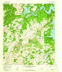
1960 · Wizard Wells
USGS Topo · 1:24,000
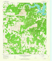
1961 · Selma
USGS Topo · 1:24,000
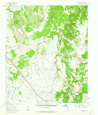
1961 · Jacksboro NE
USGS Topo · 1:24,000
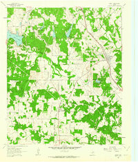
1961 · Sunset
USGS Topo · 1:24,000
1961 · Crafton
USGS Topo · 1:24,000