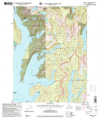
1996 Map of Craig A-2
USGS Topo · Published 1999About this map
Prince of Wales Island is depicted here during a period of ecological management and preservation, dominated by the Tongass National Forest and the South Prince of Wales Wilderness. The landscape is a complex network of glacial fjords and steep peaks, including Copper Mountain and Hetta Mountain, where the mining history of the region is still visible. Although the map reflects a late 20th-century revision, it documents the remnants of early 1900s industrial activity at Coppermount and Hetta, both noted as abandoned.
Find a feature on this map
49 named features on this map. Tap any name to fly to it.
Don’t see what you’re looking for? This feature index may not catch every label — zoom into the map to look around manually.
Map Details
Editions of this 1996 Craig A-2 Map
This is the sole edition of this map. No revisions or reprints were ever made.
Other maps of this area

1948 · Dixon Entrance D-2
USGS Topo · 1:63,360

1948 · Craig A-1
USGS Topo · 1:63,360

1948 · Dixon Entrance D-1
USGS Topo · 1:63,360

1948 · Dixon Entrance D-3
USGS Topo · 1:63,360

1948 · Craig A-3
USGS Topo · 1:63,360

1948 · Craig A-2
USGS Topo · 1:63,360

1949 · Craig B-2
USGS Topo · 1:63,360

1949 · Craig B-3
USGS Topo · 1:63,360

1949 · Craig B-1
USGS Topo · 1:63,360

1950 · Craig B-1
USGS Topo · 1:63,360