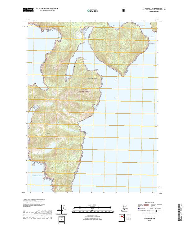
2021 Map of Craig B-5 SW
USGS Topo · Published 2021About this map
Dalton Hot Springs sits at the base of Esmeralda Mtn, marking a rare geothermal landmark within the Tongass National Forest. This 2021 survey of the Alexander Archipelago reveals a coastline of deep inlets and prominent headlands, where the Gulf of Alaska meets the southern shores of Baker Island. The maritime character of the region is defined by protected waters like Veta Bay and Fortaleza Bay, which are sheltered by substantial landforms such as Fortaleza Ridge and Pimenta Mtn. Names like Point San Roque and Point Saint Boniface line the eastern reaches near Port San Antonio, while the interior rises sharply toward the peak of Mt Miramar. The map details the intricate relationship between high mountain terrain and the tidal reach of the Pacific.
Find a feature on this map
29 named features on this map. Tap any name to fly to it.
Don’t see what you’re looking for? This feature index may not catch every label — zoom into the map to look around manually.
Map Details
Editions of this 2021 Craig B-5 SW Map
This is the sole edition of this map. No revisions or reprints were ever made.
Other maps of this area

1948 · Craig B-5
USGS Topo · 1:63,360

1948 · Craig A-5
USGS Topo · 1:63,360

1948 · Craig B-6
USGS Topo · 1:63,360

1957 · Craig
USGS Topo · 1:250,000
2000 · Craig B-6
USGS Topo · 1:63,360

2000 · Craig B-5
USGS Topo · 1:63,360
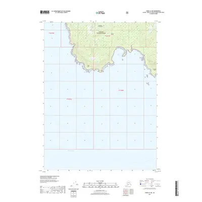
2017 · Craig A-5 NE
USGS Topo · 1:25,000
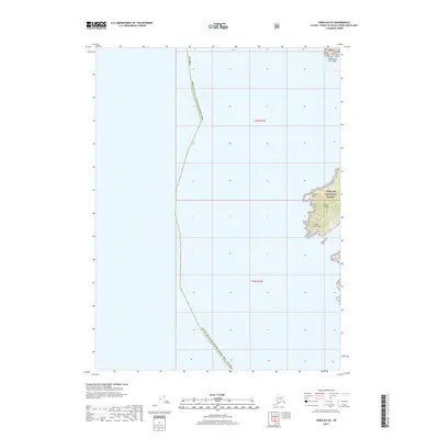
2017 · Craig B-6 SE
USGS Topo · 1:25,000
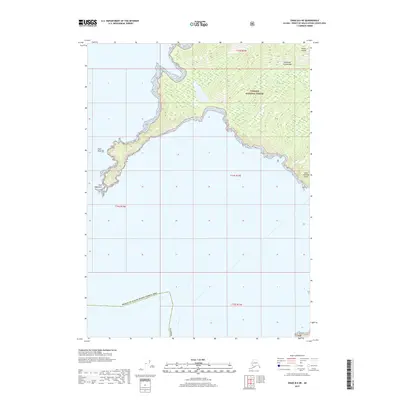
2017 · Craig B-6 NE
USGS Topo · 1:25,000
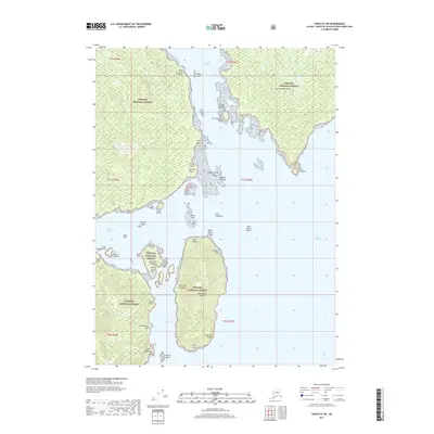
2017 · Craig B-5 NE
USGS Topo · 1:25,000