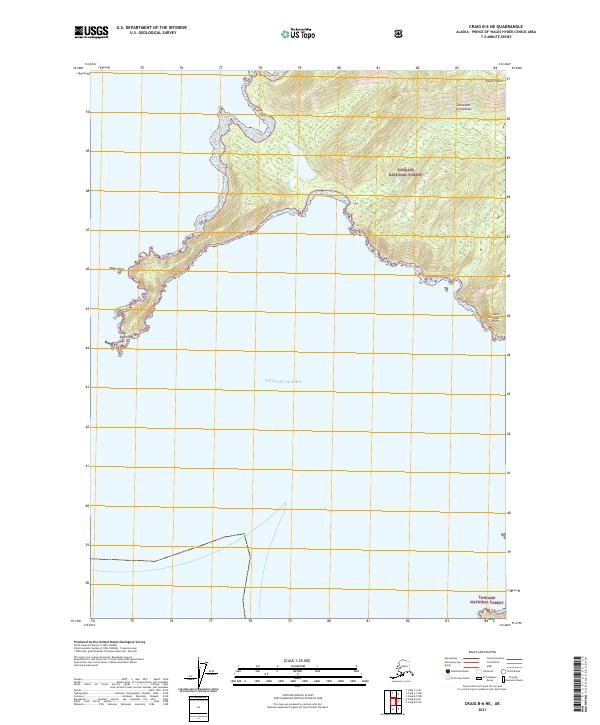
2021 Map of Craig B-6 NE
USGS Topo · Published 2021About this map
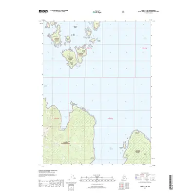
Noyes Island dominates the northern half of this coastal survey, where the rugged maritime landscape of the Alexander Archipelago meets the open Gulf of Alaska. The terrain is characterized by steep coastal slopes within the Tongass National Forest, rising sharply from the waterline to interior peaks. Prominent coastal markers like Cape Addington to the west and Saint Nicholas Point to the east define the irregular shoreline, while Shaft Rock stands as a distinct landmark off the southwestern coast. The spatial arrangement of these landforms illustrates the typical archipelago structure of Southeast Alaska, where islands serve as natural barriers against the North Pacific. These features remain critical for maritime navigation and coastal management within the federally protected forest boundaries.
Find a feature on this map
11 named features on this map. Tap any name to fly to it.
Don’t see what you’re looking for? This feature index may not catch every label — zoom into the map to look around manually.
Map Details
Editions of this 2021 Craig B-6 NE Map
This is the sole edition of this map. No revisions or reprints were ever made.
Other maps of this area

1948 · Craig B-5
USGS Topo · 1:63,360

1948 · Craig B-6
USGS Topo · 1:63,360

1951 · Craig C-6
USGS Topo · 1:63,360

1951 · Craig C-5
USGS Topo · 1:63,360

1957 · Craig
USGS Topo · 1:250,000
2000 · Craig B-6
USGS Topo · 1:63,360

2000 · Craig B-5
USGS Topo · 1:63,360
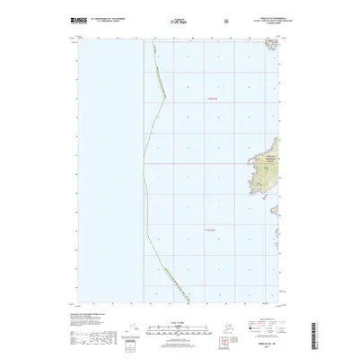
2017 · Craig B-6 SE
USGS Topo · 1:25,000
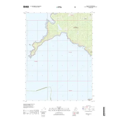
2017 · Craig B-6 NE
USGS Topo · 1:25,000
2017 · Craig C-5 SW
USGS Topo · 1:25,000