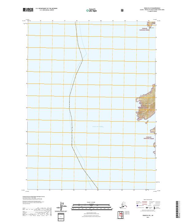
2021 Map of Craig B-6 SE
USGS Topo · Published 2021About this map
Baker Island stands as the primary landform on this coastal survey, where the terrestrial environment of the Tongass National Forest meets the open waters of the Gulf of Alaska. The map documents a rugged maritime interface characterized by prominent headlands such as Granite Point and the southernmost reach at Cape Chirikof. These features provide critical navigation markers for the surrounding waters, including the exposed Outer Point and the nearby hazard of Arcada Rock. The landscape is defined by the absence of modern infrastructure, preserving a view of the Prince of Wales-Hyder Census Area in its natural state. Researchers can observe the intricate shoreline geometry and topographic contours that dictate the wilderness character of this remote Alaskan archipelago, where the forest boundary extends to the very edge of the Pacific.
Find a feature on this map
9 named features on this map. Tap any name to fly to it.
Don’t see what you’re looking for? This feature index may not catch every label — zoom into the map to look around manually.
Map Details
Editions of this 2021 Craig B-6 SE Map
This is the sole edition of this map. No revisions or reprints were ever made.
Other maps of this area

1948 · Craig B-5
USGS Topo · 1:63,360

1948 · Craig A-5
USGS Topo · 1:63,360

1948 · Craig B-6
USGS Topo · 1:63,360

1957 · Craig
USGS Topo · 1:250,000
2000 · Craig B-6
USGS Topo · 1:63,360

2000 · Craig B-5
USGS Topo · 1:63,360
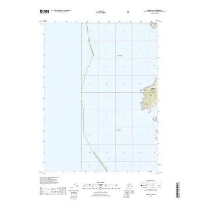
2017 · Craig B-6 SE
USGS Topo · 1:25,000
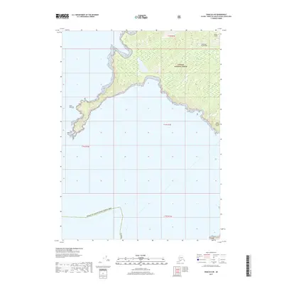
2017 · Craig B-6 NE
USGS Topo · 1:25,000
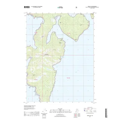
2017 · Craig B-5 SW
USGS Topo · 1:25,000
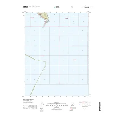
2017 · Craig A-5 NW
USGS Topo · 1:25,000