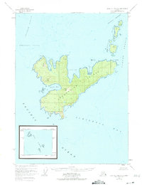
1948 Map of Craig D-7 and D-8
USGS Topo · Published 1975About this map
Coronation Island and its surrounding archipelago dominate this 1948 topographic survey, situated where the Pacific Ocean meets the complex waterways of southeast Alaska. Entirely within the Tongass National Forest, the island is defined by dramatic coastal relief, rising from the waters of Chatham Strait and Sumner Strait to prominent summits like Needle Peak and Windy Peak. The coastline is heavily indented with deep harbors such as Windy Bay and Aats Bay, reflecting a landscape shaped by glacial activity and maritime exposure.
Find a feature on this map
26 named features on this map. Tap any name to fly to it.
Don’t see what you’re looking for? This feature index may not catch every label — zoom into the map to look around manually.
Map Details
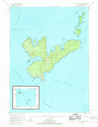
Editions of this 1948 Craig D-7 and D-8 Map
3 editions found
Other maps of this area

1948 · Port Alexander A-1
USGS Topo · 1:63,360

1948 · Port Alexander A-2
USGS Topo · 1:63,360
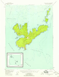
1948 · Craig D-7 and D-8
USGS Topo · 1:63,360

1951 · Port Alexander
USGS Topo · 1:250,000
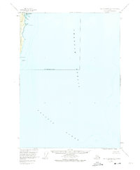
1951 · Port Alexander A-2
USGS Topo · 1:63,360

1952 · Port Alexander
USGS Topo · 1:250,000

1957 · Craig
USGS Topo · 1:250,000

1964 · Port Alexander
USGS Topo · 1:250,000
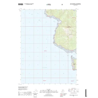
2017 · Port Alexander A-1 SW
USGS Topo · 1:25,000
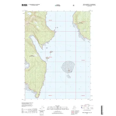
2017 · Port Alexander A-1 SE
USGS Topo · 1:25,000