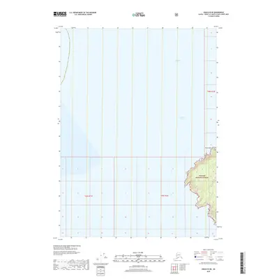
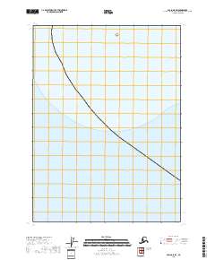
2018 Map of Craig D-8 NE
USGS Topo · Published 2018About this map
Christian Sound and Chatham Strait converge in this coastal section of southeast Alaska, where the open water meets the jagged shoreline of the Tongass National Forest. The map primarily documents the maritime environment and the complex coastal interface at the southwestern edge of the Alexander Archipelago. A prominent land feature, Nation Point, marks the boundary where the shoreline turns eastward, revealing the deep inlets and varied topography of the national forest. The survey provides a clear look at the relationship between the navigable coastal waters and the protected forest lands, illustrating the navigational challenges and natural boundaries of this maritime region.
Find a feature on this map
7 named features on this map. Tap any name to fly to it.
Don’t see what you’re looking for? This feature index may not catch every label — zoom into the map to look around manually.
Map Details
Editions of this 2018 Craig D-8 NE Map
This is the sole edition of this map. No revisions or reprints were ever made.
Other maps of this area

1948 · Port Alexander A-1
USGS Topo · 1:63,360

1948 · Port Alexander A-2
USGS Topo · 1:63,360
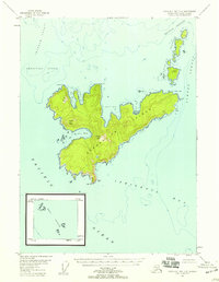
1948 · Craig D-7 and D-8
USGS Topo · 1:63,360

1951 · Port Alexander
USGS Topo · 1:250,000
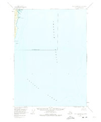
1951 · Port Alexander A-2
USGS Topo · 1:63,360

1952 · Port Alexander
USGS Topo · 1:250,000

1957 · Craig
USGS Topo · 1:250,000

1964 · Port Alexander
USGS Topo · 1:250,000
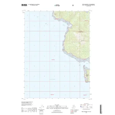
2017 · Port Alexander A-1 SW
USGS Topo · 1:25,000
2018 · Craig D-8 SW
USGS Topo · 1:25,000