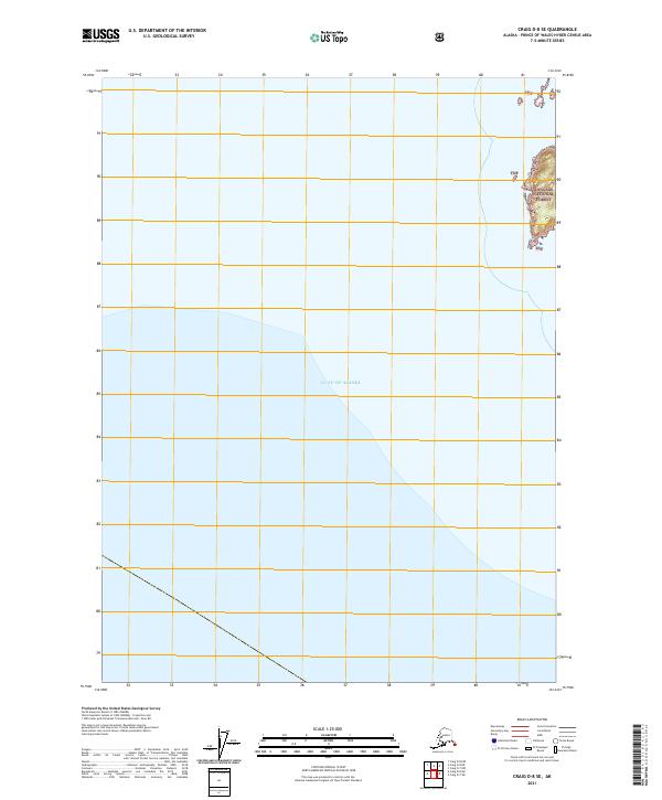
2018 Map of Craig D-8 SW
USGS Topo · Published 2018About this map
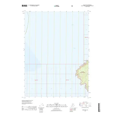
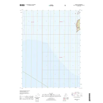
The T69s R70e and T69s R71e land survey boundaries define this coastal section of Southeast Alaska, where the landscape is almost entirely dominated by the waters of the North Pacific. The presence of the Public Land Survey System (PLSS) grid lines across the open water reflects the administrative mapping of the Prince of Wales-Hyder Census Area, even in reaches where no landform is present. This 2018 survey emphasizes maritime coordinates and jurisdictional boundaries over terrestrial features, serving as a clean cartographic record of the region's marine extent and the precise limits of its township and range divisions.
Find a feature on this map
2 named features on this map. Tap any name to fly to it.
Don’t see what you’re looking for? This feature index may not catch every label — zoom into the map to look around manually.
Map Details
Editions of this 2018 Craig D-8 SW Map
This is the sole edition of this map. No revisions or reprints were ever made.