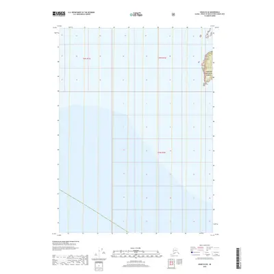
2018 Map of Craig D-8 SE
USGS Topo · Published 2018About this map
The Tongass National Forest occupies the small portion of land on the eastern edge of this maritime map, which is primarily dominated by the waters of Southeast Alaska. This 2018 survey provides an essential view of the administrative landscape during the late twenty-first century, showing the intersection of T69s R71e, T69s R72e, and T70s R72e. The mapping illustrates the transition from the protected timberlands of the national forest to the coastal waters, providing a clear picture of the township and range divisions that govern this section of the Alexander Archipelago.
Find a feature on this map
4 named features on this map. Tap any name to fly to it.
Don’t see what you’re looking for? This feature index may not catch every label — zoom into the map to look around manually.
Map Details
Editions of this 2018 Craig D-8 SE Map
This is the sole edition of this map. No revisions or reprints were ever made.
Other maps of this area
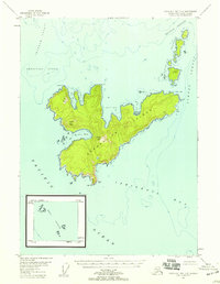
1948 · Craig D-7 and D-8
USGS Topo · 1:63,360

1957 · Craig
USGS Topo · 1:250,000
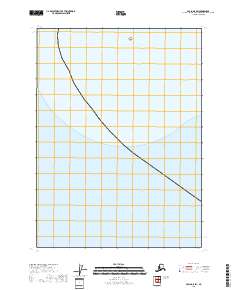
2018 · Craig D-8 SW
USGS Topo · 1:25,000
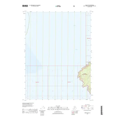
2018 · Craig D-8 NE
USGS Topo · 1:25,000
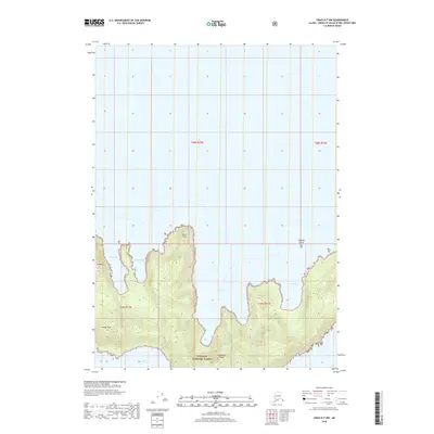
2018 · Craig D-7 NW
USGS Topo · 1:25,000
2018 · Craig D-8 NW
USGS Topo · 1:25,000
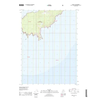
2018 · Craig D-7 SW
USGS Topo · 1:25,000
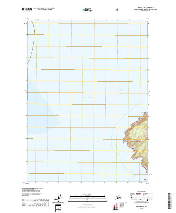
2021 · Craig D-8 NE
USGS Topo · 1:25,000
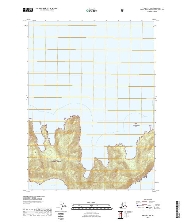
2021 · Craig D-7 NW
USGS Topo · 1:25,000
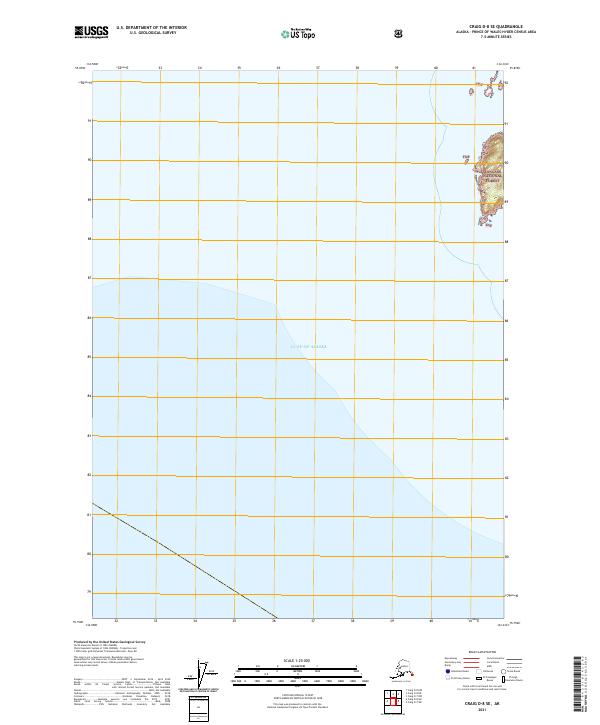
2021 · Craig D-8 SE
USGS Topo · 1:25,000