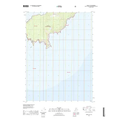
2018 Map of Craig D-7 SW
USGS Topo · Published 2018About this map
Tongass National Forest dominates this coastal landscape on Prince of Wales Island, where the island's southern peninsula reaches into the sea. The 2018 topography shows a high, wooded interior marked by Needle Peak, which rises steeply from the surrounding terrain. To the south, the land narrows significantly toward Helm Point, a prominent coastal feature that defines the local shoreline. On the eastern side of the peninsula, China Cove provides a protected water feature tucked against the forest slopes. This map records the late 20th-century survey of the uninhabited wilderness and coastal boundaries before more modern developments, showing the pure geographic character of the Alexander Archipelago.
Find a feature on this map
8 named features on this map. Tap any name to fly to it.
Don’t see what you’re looking for? This feature index may not catch every label — zoom into the map to look around manually.
Map Details
Editions of this 2018 Craig D-7 SW Map
This is the sole edition of this map. No revisions or reprints were ever made.
Other maps of this area
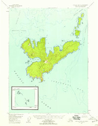
1948 · Craig D-7 and D-8
USGS Topo · 1:63,360

1957 · Craig
USGS Topo · 1:250,000
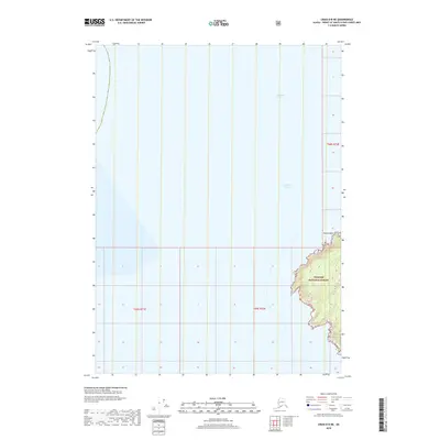
2018 · Craig D-8 NE
USGS Topo · 1:25,000
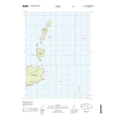
2018 · Craig D-7 NE
USGS Topo · 1:25,000
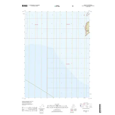
2018 · Craig D-8 SE
USGS Topo · 1:25,000
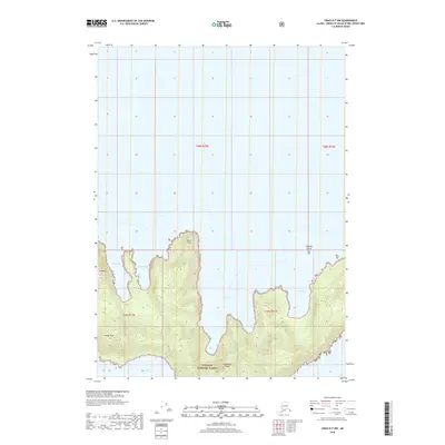
2018 · Craig D-7 NW
USGS Topo · 1:25,000
2018 · Craig D-7 SE
USGS Topo · 1:25,000
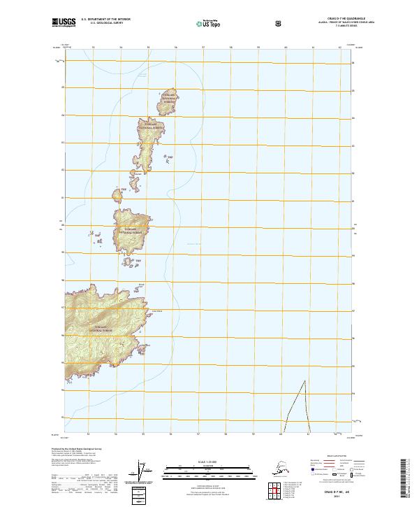
2021 · Craig D-7 NE
USGS Topo · 1:25,000
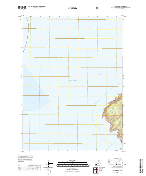
2021 · Craig D-8 NE
USGS Topo · 1:25,000
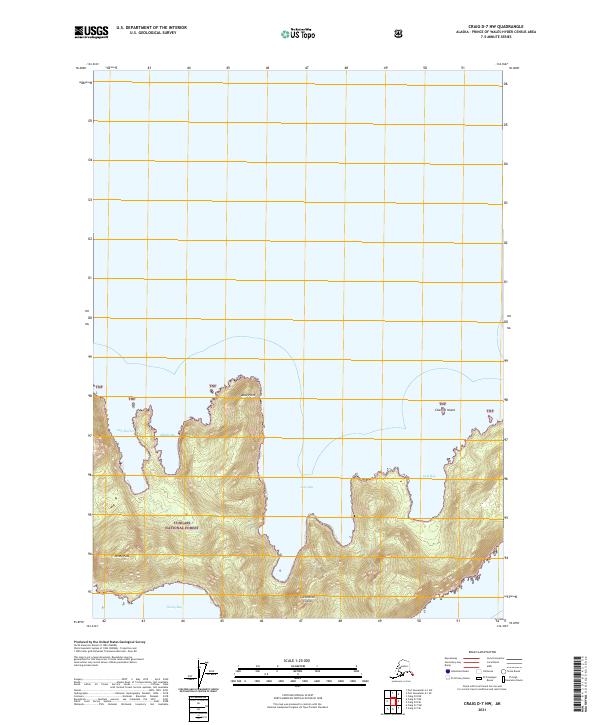
2021 · Craig D-7 NW
USGS Topo · 1:25,000